GIS Day and Geography Awareness Week 2020
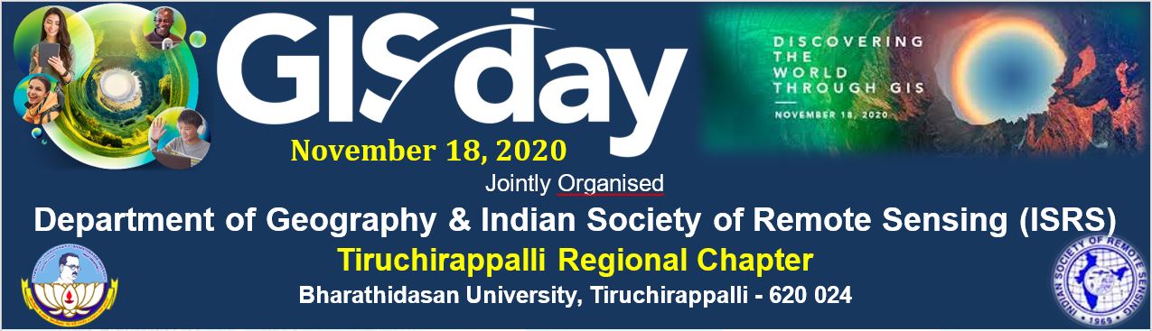
GIS Day and Geography Awareness Week 2020
GIS is a scientific framework for gathering, analysing, and visualizing geographic data to help us make better decisions. On GIS Day, help others learn about geography and the real-world applications of GIS that are making a difference in our society. It is a chance for you to share your accomplishments and inspire others to discover and use GIS. Even though celebrating may look a little different this year, sharing GIS is more important than ever.
Geography Awareness Week (16-21, November 2020), as a way to educate people about how the decisions that they make in everyday life affect the world we live in. Geography can be best described as the study of places and the relationships between people and their environments. Geographers explore both the physical properties of Earth’s surface and the human societies spread across it. They also examine how human culture interacts with the natural environment and the way locations and places can have an impact on people. Geography seeks to understand where things are found, why they are there, and how they develop and change over time.
As Global citizens it is important that we are up to speed with current and future geographical issues, and are well informed to positively impact our surroundings.
Department of Geography
The School of Earth Sciences, with Geography and Geology faculties, was established in Bharathidasan University in 1987. On the trifurcation of the School, the Department of Geography was started in July 2001 with the vision to conduct research in frontier and emerging areas of geography and to disseminate the knowledge to the community. The Department of Geography has vibrant faculty, undertaking a full range of degree programmes from Five Year Integrated M.Sc, Two-year M.Sc, Geography, M.Tech Geoinformatics, M.Phil and Ph.D programmes.
http://www.bdu.ac.in/schools/earth-sciences/geography/
ISRS Tiruchirappalli Regional Chapter
Indian Society of Remote Sensing (ISRS) Dehradun, was established in 1969 with the main objective of advancement and dissemination of remote sensing technology in the fields of mapping, planning and management of natural resources and environment. It has established a number of regional chapters. Tiruchirappalli Regional Chapter (TRC), established in the year of 2011, is housed at the Department of Geography, Bharathidasan University, Tiruchirappalli, Tamil Nadu. The TRC is actively serving the fields of remote sensing, geosciences and other interdisciplinary subjects to promote and disseminate knowledge to the younger generation.
Visit: https://isrstrc.blogspot.com/ Email: isrstrichychapter2018@gmail.com
Events
GIS QUIZ: 18th to 20th November 2020
The Quiz competition is conducted in online mode through Google Form. It contains 25 questions each carry 2 mark. E-Certificate will be issued to those who qualify with a minimum of 50 mark.
Invited Lecture: 18th November 2020
Comments
Post a Comment